
Moreno Valley ZIP Coverage at a Glance
The Moreno Valley ZIP code directory starts with the four postal codes that the city identifies as first-tier, city-boundary areas. The official Moreno Valley ZIP agreement names 92551, 92553, 92555, and 92557, while also warning that postal areas can be shared with neighboring cities. The table gives a practical search frame, not a claim that a ZIP line follows the incorporated boundary.
| ZIP | Areas Covered | Post Office | Notes |
|---|---|---|---|
| 92551 | South and southwest, including Moreno Valley College, Lasselle, Iris, and Cactus corridors | Exact delivery station not verified | Standard city-boundary ZIP; confirm each address with USPS |
| 92553 | Central and west urban core, including Civic Center, Frederick, and Alessandro corridors | Moreno Valley, 23580 Alessandro Boulevard; Postal Avenue, 24040 Postal Avenue | Standard ZIP; both listed stations were verified |
| 92555 | East Moreno, Rancho Belago, and the eastern Moreno corridor | Moreno, 28981 Alessandro Boulevard, 951-247-7507 | Standard ZIP; station and phone were verified |
| 92557 | North and northwest, including Sunnymead Ranch and the Box Springs side | Exact retail station not verified | Standard city-boundary ZIP; shared-edge conditions remain possible |
Verified station details belong to the USPS location pages, while the two unverified station notes are deliberate. A ZIP code directory should never turn an unconfirmed station into a fact. Use the official address-to-ZIP check for a particular delivery address, then use the relevant county or city record system for the question that follows.
Moreno Valley 92551 in the South
ZIP 92551 covers the south and southwest side of Moreno Valley, including the Moreno Valley College, Lasselle, Iris, and Cactus corridors. Research identifies it as a standard city-boundary ZIP, but it does not verify a named retail delivery station. That distinction matters when a searcher needs a counter, a box service, or a station address rather than a ZIP result.
Address trails in 92551 should begin with the complete street address in the USPS address-to-ZIP lookup. A confirmed ZIP can then be paired with the Riverside County assessor's address search or the county map viewer. Those tools work from a street, APN, PIN, or parcel selection, so they can narrow a ZIP to real land records without pretending that postal service maintains a household roll.
Moreno Valley 92553 at the Center
ZIP 92553 covers the central and west urban core, including the Civic Center, Frederick, and Alessandro corridors. USPS location pages verify the Moreno Valley station at 23580 Alessandro Boulevard and the Postal Avenue station at 24040 Postal Avenue. These are verified service points, not proof that every nearby parcel belongs to the same municipal jurisdiction.
The USPS address-to-ZIP lookup image below illustrates the right first move: verify the postal result from the address itself. A Moreno Valley ZIP result can guide mail or search terms, but the parcel record still needs an APN or legal description when ownership history is the question.
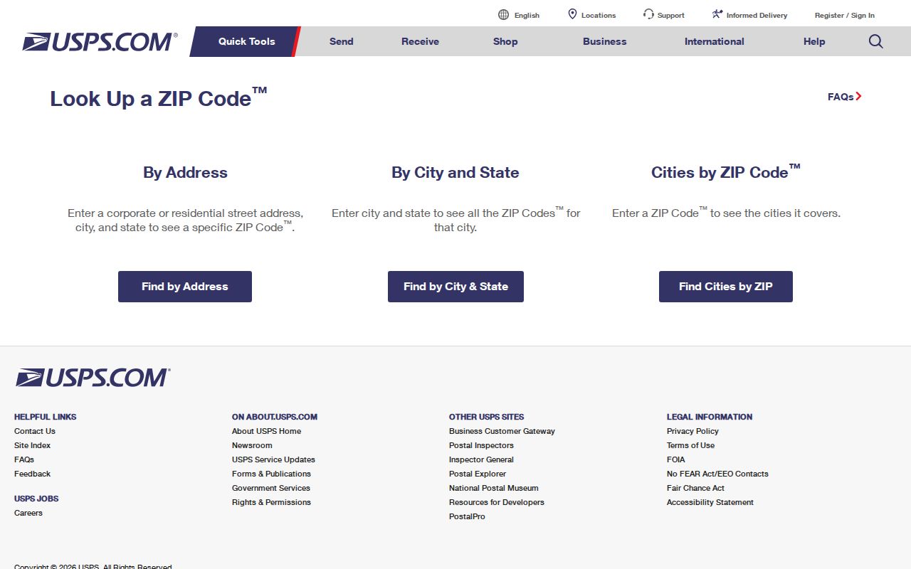
For a 92553 search, keep the street address, the USPS result, and the parcel identifier together. That small record of the lookup helps resolve a later mismatch between a postal label, an assessor record, and a city map.
Moreno Valley 92555 in the East
ZIP 92555 reaches east Moreno, the Rancho Belago area, and the eastern Moreno corridor. The verified Moreno Post Office is at 28981 Alessandro Boulevard, with the published telephone number 951-247-7507. The station confirms a postal access point; it does not turn Rancho Belago into a separate incorporated city or establish who is connected to a parcel.
Postal labels are useful when a family-history search has several spelling or place-name choices, especially where modern records use Moreno Valley and older records use predecessor communities. For a current parcel, preserve the USPS result alongside the APN, situs address, and legal description. Those keys remain more stable than a ZIP when delivery routes or classifications change.
Moreno Valley 92557 in the North
ZIP 92557 covers north and northwest Moreno Valley, including Sunnymead Ranch and the Box Springs side. It is listed as a standard city-boundary ZIP, yet an exact retail station was not verified in the research. That note is more useful than a guessed station because it tells a researcher where USPS confirmation is still required.
North-side searches can also cross older community language. Moreno Valley incorporated in 1984 from Moreno, Sunnymead, and Edgemont, so a historical name search may need both the modern city label and its predecessor terms. A ZIP number helps with current delivery geography, but it cannot repair an older index that was organized by community or county enumeration district.
Moreno Valley's Unlisted ZIP Questions
Postal codes 92552, 92554, and 92556 appear in some postal or Census groupings, but they are not part of the city's four standard city-boundary ZIP list. The research did not verify whether each is currently a PO-box, unique, shared, or other nonstandard classification, and it did not establish a current station assignment for them.
No official ZIP realignment year, address-assignment authority page, or historical renumbering record was found. That is a research gap, not a reason to fill in a likely story. When one of these numbers appears in an older file, check the full address through USPS, compare the municipal setting with Riverside County GIS, and keep the original source date attached to the result.
Finding Moreno Valley Residents by ZIP Code
A resident-by-ZIP search works best as a sequence of checks rather than a single ZIP filter. First validate the address, then identify the parcel, then choose the record keeper that can answer the actual question. The portal table makes the limits clear.
| Portal or channel | Supported search fields or mode | ZIP capability and access |
|---|---|---|
| USPS address-to-ZIP check | Address-to-ZIP and city/ZIP verification | Direct online postal check; no resident list |
| Riverside County Assessor | Property Address, APN, or PIN; PIN uses the first nine digits | No ZIP-wide filter documented; free web search, owner inspection at an ACR office |
| Riverside County Map My County | Street, Address + Street, APN, Tract, or query fields with operator and value | No ZIP search documented; selected parcels can be exported or mapped online |
| Riverside recorder | Name, document number, date range, document type, or map type/book/page | No ZIP filter documented; web index, office terminals, mail, drop box, and Gateway research |
| California voter records | My Voter Status for personal verification; specific-voter requests require name, DOB, county, and residence address | No casual ZIP browse; purpose-certified file request only |
- Run the complete address through USPS and save the returned ZIP and city label.
- Search the assessor portal by street address, APN, or PIN, then retain the parcel facts.
- Open Map My County instructions to check the parcel, surrounding extent, tract, and relevant map layers.
- Use the recorder only when a named party, document, or date can anchor the next search.
- Use voter information only through personal status or a permitted, purpose-certified request.
Once a ZIP narrows the geography, the Moreno Valley by-street directory can take the search from postal area to address. The ZIP is the starting lens, not the final identity key.
The Moreno Valley Assessor Myth
The Riverside County assessor search accepts a property address, APN, or PIN, but the online result does not display the owner's name. The Riverside County property search is therefore a parcel lookup, not a ZIP-wide resident directory. It can return situs, legal description, subdivision, map references, value history, and related property fields without exposing an online owner-name browse.
Insider tip. When an ownership question cannot be answered online, Riverside County directs public inspection of the annual owner list to an assessor office. Start with the address or parcel number instead of guessing a name.
In-person access is part of the record path. The Assessor lists 800-746-1544 and 951-955-6200; the Clerk-Recorder lists 800-696-9144 and 951-486-7000. A counter check can connect a ZIP-located parcel to the assessed owner, but it still does not prove every person connected to the address. The assessor FAQ explains the online ownership limit and the Revenue and Taxation Code section governing inspection.
Moreno Valley's Postal and City Lines
Moreno Valley's planning geography is larger than its incorporated footprint. The General Plan planning area is about 42,900 acres, or 67 square miles. The incorporated city covers about 33,000 acres, or 51.6 square miles, leaving about 9,920 acres, or 15.5 square miles, in the sphere of influence outside the city. That outside share is about 23 percent of the planning area.
Boundary check. A Moreno Valley postal label or planning-area address does not by itself prove incorporation, ownership, or residence inside the city line.
The scale of the city also changed quickly. Population rose from 18,871 in 1970 to 49,702 at incorporation and an estimated 214,263 in 2025. Those are city-level figures, not ZIP counts. They explain why a ZIP code directory should be read with a municipal map and a date, especially when a record uses a neighboring postal label or a predecessor community.
USPS Postal Areas and Census ZCTAs
USPS delivery ZIPs and Census ZIP Code Tabulation Areas answer different questions. A ZCTA is a statistical approximation built by assigning Census blocks to the ZIP most associated with them. It is designed for geographic statistics, not for reproducing a carrier's delivery boundary or identifying a current Moreno Valley resident.
The Census ZCTA guidance image below is useful because it shows why a map or data table can appear to have a clean ZIP shape even when actual postal routes do not. Use USPS for one address and Census geography for population or area comparisons.
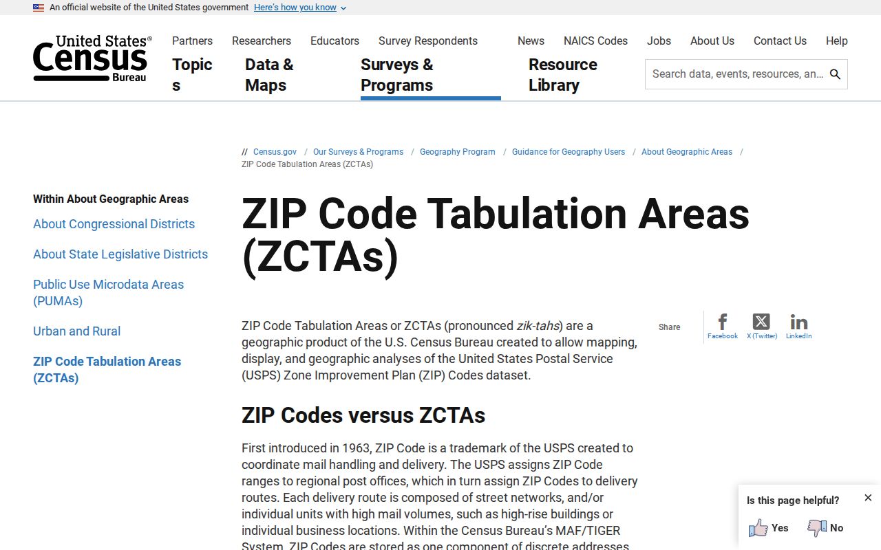
For Moreno Valley, a ZCTA can support a broad numbers question, while Riverside County GIS and the assessor support a parcel question. Mixing the two without labeling the source creates false precision.
Stable Keys for Moreno Valley ZIP Research
A ZIP can describe delivery, but an APN and legal description preserve the parcel across postal or street-label changes. Situs means the physical location of the parcel. Mailing means where assessment correspondence goes, which may belong to a nonresident owner. Neither label alone is a complete resident record.
- ZIP versus ZIP+4
- A ZIP identifies a broader delivery area; ZIP+4 adds a four-digit delivery segment for a more precise address grouping.
- PO-box or unique ZIP
- A PO-box ZIP serves post-office boxes, while a unique ZIP is assigned to one organization or delivery point; the Moreno Valley classification for 92552, 92554, and 92556 remains unverified.
- Carrier route
- A carrier route is an operational delivery path inside the postal system, not a city district or a public list of residents.
Riverside County's recorder index is keyed to parties, document numbers, types, and dates, not ZIPs. The web index reaches 1974-present, office computers are described as reaching 1975, and pre-1975 research belongs at Gateway Riverside. Copies can be ordered online, by mail, through a drop box, or at an office. When a city record is not in the portal, the Moreno Valley City Clerk public-records route can accept a focused request for existing records, but no custodian has to create a new ZIP roster.